
 El río Futaleufú. Foto: Jakub Sedivy
 Mapa: Seis cuencas hidrográficas que están siendo priorizadas por el gobierno chileno.
 Kayak en la seccion media de el Rio Fuy en Chile. Foto: Jakub Sedivy
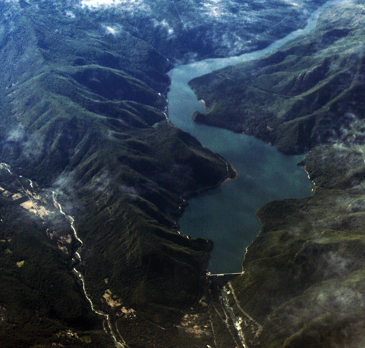 Represa Pangue, en el río Bío Bío. Foto: Álvaro Maurín
 Represa Ralco, en el río Bío Bío. Foto: Roberto Araya
[3] For more info, check page 12 of the INDC submitted to the UNFCCC http://www4.unfccc.int/submissions/INDC/Published%20Documents/Chile/1/INDC%20Chile%20english%20version.pdf
[4] http://climateactiontracker.org/countries/chile.html
[5] http://www.cr2.cl/wp-content/uploads/2016/03/Propuesta-contenidos-PANCC-2016-2021-Fase-II-Licitacio%CC%81n.pdf See page 85. Projections for precipitation between 2031 and 2050 show a downward trend of between 5 and 15% between Copiapó and Aysén, with the drop more pronounced in the south, particularly between the Bío Bío watershed and the southern limit of the Los Lagos Region (e.g. the Yelcho watershed).
[6] http://www.newsweek.com/why-latin-america-still-building-dams-88513
[7] http://cambioclimaticochile.cl/objetivos-mesa-ciudadana-2/
[8] http://thesolutionsproject.org/wp-content/uploads/2015/11/100_Chile-1.pdf
[10] Email on file with author.
[11] https://unfccc.int/resource/docs/2015/cop21/eng/l09.pdf
[12] http://www.cr2.cl/
[13] http://www.ramsar.org/sites/default/files/documents/library/def_bok_uk.pdf_final.pdf
Por Patrick Lynch